Nandi Kund Trek Guide 2024: History, Highlights, Location, Best Time, How to Reach and Itinerary
Table of Contents
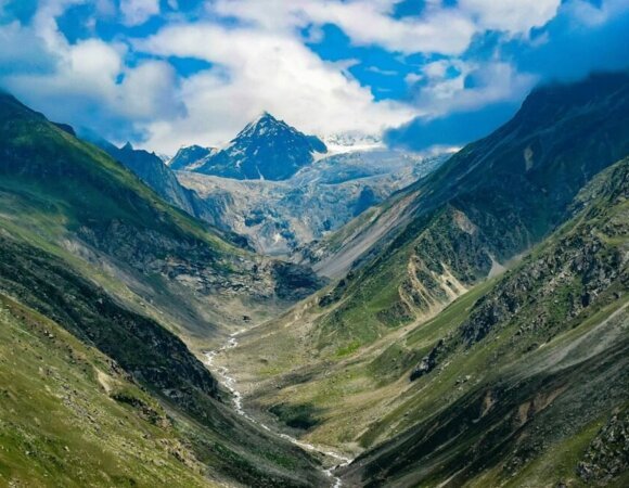
ToggleOne of the most difficult treks in the Himalayan Garhwal region, the Nandikund Trek which ranges from an altitude of 3,497 meters to 4,800 meters, is one of the least explored treks in the Indian Himalayan belt. Nandi Kund is located in Madhyamaheshwar – kalpeshwar trail.
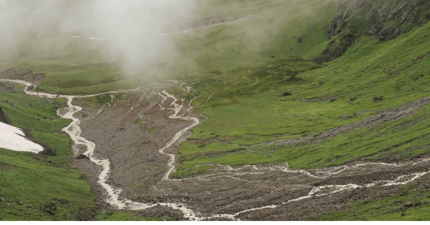
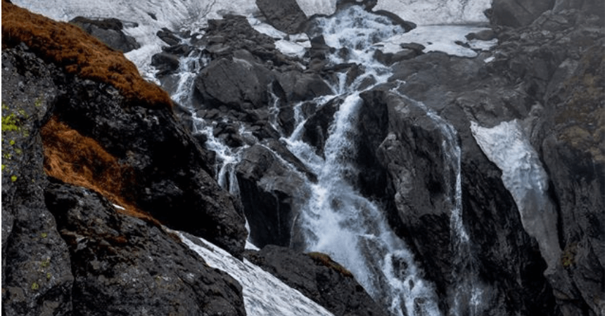
The trail offers great views of lush green meadows and high snow-capped peaks. It is the source of the Madhyamaheshwar Ganga river. The hiking path leads to this revered lake marked by streams coming from above, and you have to cross these streams to reach Nandi Kund.
History of Nandi Kund Trek
Nandikund is one of the most divine and picturesque high altitude lakes in the world located in Garhwal Himalayas. The lake is very sacred according to the Hindu faith and is named after Nandi the bull of Shiva, who was a disguised avatar of Lord Shiva. Lord Shiva had taken the avatar of the bull to hide from the Pandavas, who sought him to attain Moksha (freedom from the cycle of life and death and worldly bonds) after the cruelties of the Kurukshetra war.
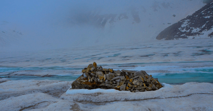
In this trek, walk on the same paths of the mythical Pandavas and touch 2 important temples of Panch Kedar, a unique journey of the Hindus to free themselves from the bonds of the world. It is believed that the Pandavas, who according to mythology lived during the Vedic period, built 5 temples to worship Lord Shiva, after which they released their lives near Swargarohini.
The bull that Bhima captured in Guptkashi disappeared and fragmented into 5 parts where the Pandavas built Panch Kedar temples to worship Lord Shiva. These are the face (Rudranath), the arms (Tungnath), the hair (Kalpeshwar), the navel (Madhyamaheshwar), and finally the bull Boss where the revered Kedarnath was built.
| AREA | Garhwal Himalayan Region, Uttarakhand |
| DURATION | 13 Days |
| BEST SEASON | May – June – September – October |
| GRADE | Tough |
| ALTITUDE | 4805 mts |
| APPROX TREKKING KM | 120 K.M |





Highlights of Nandi Kund Trek
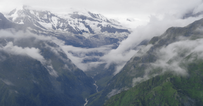
- The trail enjoys a splendid view of the green meadows and the snow-capped group of Chaukhamba and Mandani Parbat.
- This high-altitude trek takes you over high ranges without involving glaciers or even snow if attempted in the fall.
- Experience the thrill of trekking on one of the most difficult routes in the Garhwal area.
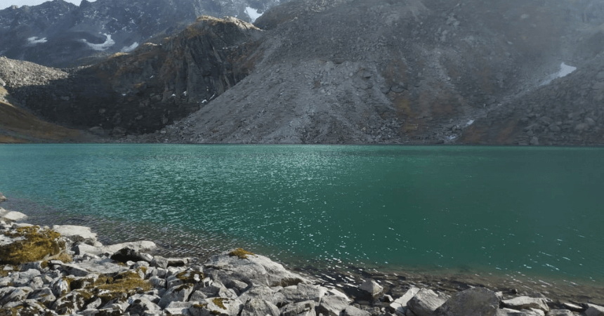
- You can see the reflection of many peaks of Chaukhamba in the serene waters of the lake.
Location of Nandi Kund Trek
Nandi Kund is located in the upper Garhwal Himalayas extending from an elevation of 3,497 meters to 4,800 meters above sea level in the Madhymaheshwar – Kalpeshwar Trail. The pristine Lake Nandikund covers an area of one and a half kilometers. The Nandi Kund is the source of the Madhyamaheshwar Ganga river.
Best Time to Visit Nandi Kund Trek
The best time to go to Nandi Kund Trek is in summer (May – June) and after the monsoon (September – October). The climate of Nandi Kund Trek remains healthy and pleasant during the summers. The Himalayas are visible and the cool breeze adds charm to the vacation.
Serenity and seclusion are at their best after the monsoon at Nandi Kund Trek. The region is blessed with snow during the winters. You can see the best of Nandi Kund Trek during the post-monsoon, as it feels like heaven on earth.
How to Reach Nandi Kund Trek
By Air:-
The nearest airport is Jolly Grant Airport in Dehradun. You can take a taxi from the airport to Ukhimath.
By Train:-
Rishikesh is the nearest railway terminal which is located at a distance of 204 km from Ukhimath. From there, taxi and bus services are available to reach Ukhimath.
By Road:-
Many bus and taxi services are available from Delhi to Haridwar and Dehradun, from there you can change buses or take a taxi to Ukhimath.
Itinerary of Nandi Kund Trek
Day 01: Delhi – Haridwar Rishikesh
In the morning take an AC train to Haridwar at 6:50 am. Arrive in Haridwar around 11:30 am and reach Rishikesh by road. The evening is free for recreational activities. Night at the hotel.
Day 02: Rishikesh – Ukhimath – Mansuna
In the morning departure for Mansuna via Devprayag, Rudraprayag, and Ukhimath. The distance between Rishikesh and Mansuna is approximately 230 km. Will stop for lunch in Srinagar. Overnight at the hotel.
Day 03: Mansuna – Uniana – Bantoli
Go to Uniana, which is 15 km from Mansuna. It will also be our first day of trekking during which we will walk 11 km to reach Bantoli. Night in a tent.
Day 04: Bantoli – Madhyamaheshwar – Budha Madhyamaheshwar
Today early in the morning, walk 8 km to reach Madhyamaheshwar. Arrive in Madhyamaheshwar around noon. Then go to visit Budha Madhyamaheshwar and the Puja evening at the temple. Night in Tent.
Day 05: Madhyamaheshwar – Kachani.
Today walk 10km to reach Kachani Dhar. Overnight in a camp in Kachani Dhar.
Day 06: Kachani Dhar – Kachani Tal – Kachani Dhar – Pandav Shera
Today walk 2 km to Kachani Tal then to Pandav Shera which is 14 km away. Night in the tent at Pandav Shera.
Day 07: Pandav Shera – Nandi Kund
Drive to Nandi Kund which is 6 km away. Night in a tent in Nandi Kund.
Day 08: Nandi Kund – Dwari Gad
Today your trip will be to Dwari Gad which is 12 km away. Night in tents in Dwari Gad.
Day 09 : Dwari Gad – Dhaula Udiyar
Walk to Dhaula Udiyar which is 13 km from Dwari Gad. Night in the fields with dinner.
Day 10: Dhaula Udiyar – Bantoli
In the morning, walk 14km to reach Bantoli . Night in Guest House / Tent.
Day 11: Bantoli – Ukhimath
Today, walk 11 kilometers and head towards Uniana. The packed lunch will be transported over 35 km. Upon arrival at Uniana, head to Ukhimath. Overnight in a hotel in Ukhimath.
Day 12: Ukhimath – Rishikesh
Drive to Rishikesh which is 200 kilometers from Ukhimath. Lunch will be in Srinagar.
Day 13: Rishikesh – Delhi
Wake up early in the morning and travel to Haridwar station to catch the AC train to Delhi at 6:10 am. Arrival in Delhi at 11:45 am.
Frequently Asked Questions (FAQ’s) for Nandi Kund Trek
Where is lake Nandi Kund Trek located?
Nandi Kund Trek is a high elevation lake located 15,748 feet above sea level. It is located in the Chaukhamba group of peaks and is 1.5 km wide.
What is the best season to visit Lake Nandi Kund Trek?
The best time to go to Nandi Kund Trek is in summer (May – June) and after the monsoon (September – October).
How high is the peak of Nandi Kund Trek?
The Nandi Kund Trek is bordered by high snow-capped peaks and lush meadows. It is located at an altitude of 14,500 feet.
In which season is there snow on the Nandi Kund trek?
In the spring and early summer, you can find a lot of snow.
How long does the Nandi Kund trek last?
The trek lasts about 13 days for a total of 120 km.
How difficult is the Nandi kund trek?
This high-altitude trek of lake Nandi Kund has a high level of difficulty.

