Singalila Trek Guide 2024: History, Highlights, Best Time to visit, Itinerary and FAQs
Table of Contents
TogglePhalut is referred to as ‘God that knows everything and also ‘Omna Re Ay’ referred by Phalutians. Fill your lungs with fresh air and the captivating scenic beauty of Sikkim. Phalut is 11,800 ft which makes it the second highest peak in the state of West Bengal.
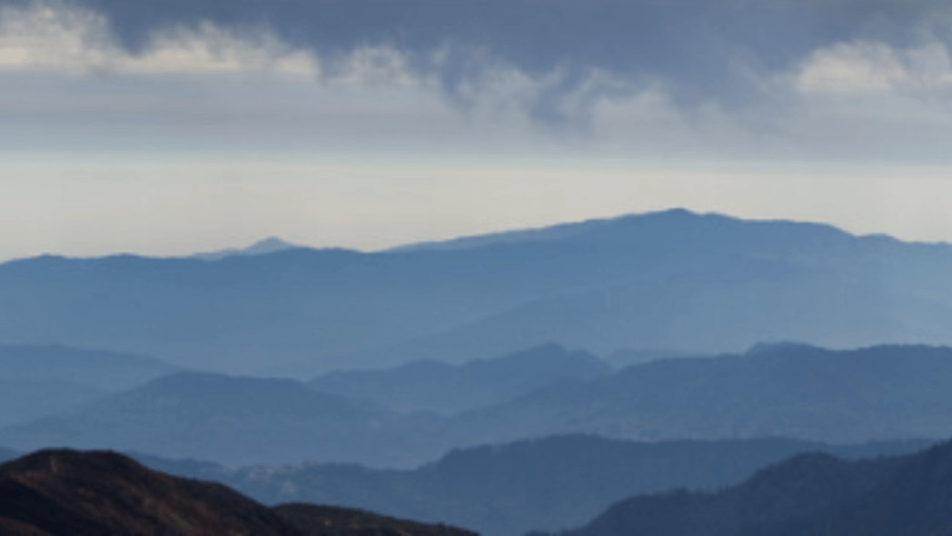
Panoramic views of the World’s highest 8000-meter peaks, Mt. Everest, Mt. Kanchenjunga, Mt. Lhotse, and Mt. Kanchenjunga. Phalut offers a sneak peek of the world’s highest mountain peak ‘Everest’. Relish the beauty of ‘Sleeping Buddha’ formed my majorly Mt.Kanchenjunga and nearby summits.
History of Singalila Trek
Sandakphu translates to ‘peak of the poisonous plants’ attributable to the presence of Aconitum and Cobra Lilies there. The highest peak of state West Bengal is Sandakphu. Award-winning Documentary film on Conservation and Environmental, named Cherub of the Mist regarding the reintroduction of Red Pandas was based on Singalila Trek NP which is covered in the Sandakphu trek.
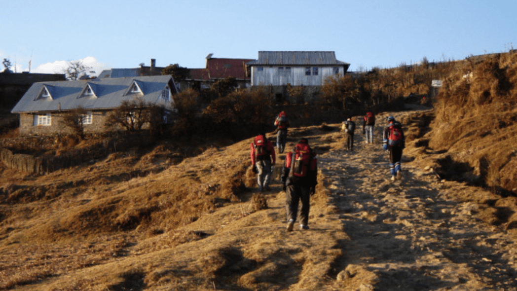
Phalut is grassland with very little vegetation. There are a limited number of stay options. It is better to book a stay beforehand.
Keypoints of Singalila Trek
| AREA | Darjeeling District, West Bengal |
| DURATION | 7 Days |
| WEATHER | 17 to 15 Degree Celsius |
| BEST SEASON | Mar to May, Oct to Jan |
| GRADE | Moderate to Challenging |
| ALTITUDE | 11,930 ft |
| APPROXIMATE KM | 73 KM |
Gallery of Singalila Trek
[masterslider id=”73″]Highlights of Singalila Trek
- The Kanchenjunga cluster is also referred to as the ‘Sleeping Buddha’ as it appears like it.
- Kalapokhri literally translates to ‘black lake’. It is considered sacred by locals.
- Encounter Nepalese and Tibetean culture and cuisine.
- The vintage Land Rovers are classic. Sandakphu is called “Land of Land Rovers” as they are part of this route for easy access.
- Singalila National Park is a National park, home to many endangered species.
Location of Singalila Trek
Sandakphu (11,929 ft) and Phalut (11,800 ft) are the summits of the eastern Himalayas located on the Indo-Nepal border. It is situated in the Darjeeling district of West Bengal district and also Nepal as a neighbor.
Villages at glance are Bhareng, Gairibas, Meghma, Maneybhanjyang, Srikhola, Gorkhey, Sepi, Samandan, and Sabargram. Lhotse (8516m), Nuptse (7861m), Rathong (6679m), Kabru N (7353m), Koktang (6147m), Pandim (6691m), Mount Everest (8848 m), Kanchenjunga (8586m), Makalu (8462m) and other few high altitude peaks are visible from here.
Best Time to Visit Singalila Trek
Summer(March to May): Rhododendrons and Magnolias are in full bloom from March to May.
Min Temperature: 5°c | Max Temperature: 22°c
Winter(October to January): Clearer view and Snow covered peaks look more prominent. Birds are easily spottable at this time.
Min Temperature: -5°c | Max Temperature: 12°c
How to Reach Singalila Trek
By Air:-
The nearest Airport is Bagdogra, then reach Siliguri, hire or share a jeep to Sukhiapokhri then to Manebhanjan.
By Train:-
The railway station is New Jalpaiguri, then reach Siliguri, hire or share a jeep to Sukhiapokhri then to Manebhanjan.
Itinerary of Singalila Trek
Day 1 : NJP to Manebhanjan
95 km | 4 Hours
Reach Manebhanjan via Sukhiapokhri, and rest in Manebhanjan overnight.
Day 2 : Manebhanjan to Tumpling
11 Km | 5 Hours
In the Ilam district of Nepal, Tumling. Iconic houses of ‘Gurungs’ provide positive vibes. Before reaching Tumling, walk through ‘Meghma‘ which means through the clouds. It has an SSB check post and also has a small Chorten – Buddhist Stupa, then to Tonglu and eventually Tumbling.
Day 3 : Tumpling to Kalapokhri
11 Km | 5 Hours
The official check post of Singalila National Park is here in Tumbling. Crossing 2 villages and a valley we reach Kalapokhri.
Day 4 : Kalapokhri to Sandakphu
8 Km | 4 Hours
Silver fir and Pine trees are lined here, climb up to Bhikey Bhanjang then reach Sandakphu. Relish the beauty of ‘Sleeping Buddha’.
Day 5 : Sandakphu to Sabargram
14km | 6 Hours
A tiny village with only forest huts and camps can be set up. The trek is tiring as it’s long and strenuous; have a good night’s sleep to recover for tomorrow.
Day 6 : Sabargram to Gorkhey via Phalut
17 km | 6 hours
See your Geography book photos come to live, Up live in front of you would be witnessing Mt. Everest and Mt. Kangchenjunga. Spend some time in Phalut then descend to Gorkhey.
Day 7: Gorkhey to Sepi to NJP
15 Km | 6 hours
Passing by a cross by small streams in the monsoon season reaching Sepi. Pack all your memories and don’t forget to post some unexplored places that you have just visited.
Frequently Asked Questions (FAQs) for Singalila Trek
Where Do the Landrovers go in Sandakphu Trek?
Jeeps are available from Manebhanjan to Phalut.
Are there any borderlines between Nepal and India here?
No, there are just markings that indicate either country’s border. No Jawans, no protection magical blend of 2 cultures.
Is Singalila – Phalut Trek difficult?
There is no free lunch. What it means is everything comes with hard work. Of Course, it gets difficult after Sandakphu as it is a very tiring stretch to Phalut.
How far is the walk from Sandakphu to Phalut?
Phalut is almost 22km far from Sandakphu. Base of Singalila range is Manebhanjan.
Why is this Trek also called Singalila Trek?
This trek is called Singalila Trek as it comes under the Singalila ridge of the Eastern Himalayas. It is also called Sandakphu-Phalut Trek.


